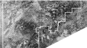
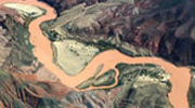
The acquisition, processing and interpretation of images of the Earth taken from aircraft or satellites.