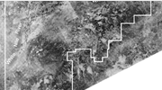
A representation of a surface or subsurface produced from measured data, whether photographic, satellite or geophysical.